The McKinley Park neighborhood of Chicago hosts a rich and growing panopoly of locations for food, drinks and dining, from long-time neighborhood stalwarts to innovative new creators and entrepreneurs in Chicago's cuisine, beverage and nutrition scenes.
Note: The City of Chicago has imposed restrictions on business hours and operations due to the COVID-19 pandemic. Diners, drinkers and shoppers may wish to check with any establishment before visiting.
{hotspotsanywhere 4075}
Top Picks from Our Sponsors
For Lunch and Dinner:
 |
Chile Toreado, at 2022 W. 35th St., serves innovative Mexican cuisine, plus drinks including bespoke cocktails, tequila and mescal. |
For Sweets:
 |
Kristoffer's Cakes, at 1735 W. 35th St., bakes Chicago's best tres leches cake, plus other sweet treats and savory specialties. |
For Beer, Tonics, Dining and Events:
 |
Marz Community Brewing Co., at 3630 S. Iron St., innovates with small-batch and regular beers, CBD-infused tonics, dining and more. |
For Breakfast, Lunch and Brunch:
 |
Pochos, at 2025 W. 35th St., provides Mexican- and American-influenced savory meals and sweet delicacies. |
Whether dining out or eating in, at all times of day or night, the McKinley Park neighborhood offers many fantastic options, all of which are listed in this comprehensive guide.
Do you see a listing that's missing, or that needs to be updated? Send email to info@mckinleypark.news and let us know: We will promptly update this guide.
Are you a neighborhood restaurant or food retailer who would like to be highlighted in this guide? Our local Sponsors receive this benefit and many others: Click to learn how to Become a Sponsor and sign up, or call (312) 560-1115.
 Official City of Chicago McKinley Park Community Area (No. 59) mapMcKinley Park is a neighborhood and official Community Area No. 59 located at the geographic center of Chicago. The McKinley Park Community Area boundaries are the Stevenson Expressway (Interstate 55) on the north, the South Branch of the Chicago River (aka "Bubbly Creek") on the east, West Pershing Road on the south and the CSX railroad tracks and viaduct on the west.


 The coverage area of the McKinley Park NewsAs a neighborhood, McKinley Park effectively includes the historic Central Manufacturing District lining the south side of West Pershing Road, as well as the riverside and commercial and manufacturing districts between the Stevenson Expressway and the Chicago Sanitary and Ship Canal. The McKinley Park News covers this greater neighborhood area.
McKinley Park Zoning Map
Legend:
Residential Commercial Business Manufacturing Planned Manufacturing District Planned Development Parks and Open Space

A screen shot of the City of Chicago's interactive zoning map displays the McKinley Park neighborhood's zoning districts.

McKinley Park Police Maps
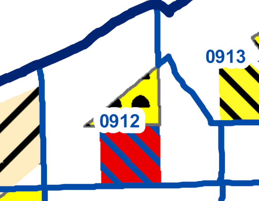
 Chicago Police Department 9th District beats in the McKinley Park neighborhood include 912, 911 and 924.Chicago's McKinley Park neighborhood is part of the Chicago Police Department's 9th District, with Beat 912 covering most of the neighborhood. Beat 911 includes the part of the McKinley Park neighborhood west of South Western Avenue; Beat 924 covers the Central Manufacturing District along the south edge of West Pershing Road.
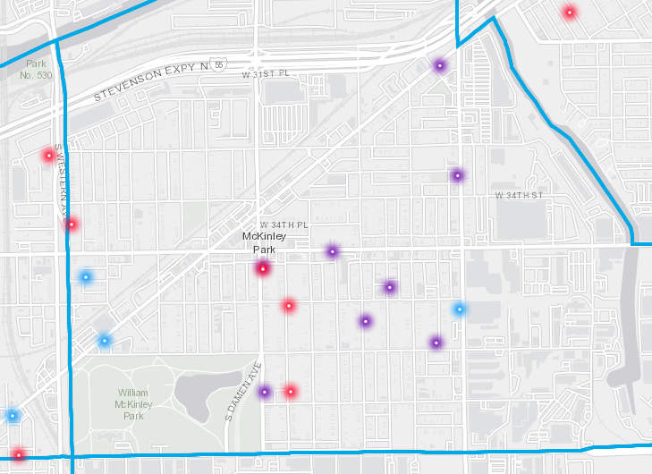
Chicago Police gang maps define the boundaries of activity for three street gangs in the McKinley Park neighborhood:
 A Chicago Police Department map shows 2022 gang area boundaries for McKinley Park.Latin Counts, active within the boundaries of West 35th Street on the north, South Ashland Avenue on the east, West Pershing Road on the South and South Damen Avenue on the west
Satan Disciples, active within the boundaries of South Archer Avenue on the north, South Ashland Avenue on the east, and West 35th Street on the south.
Two Six, active west of South Western Avenue.
 McKinley Park's registered sex and gun offenders can be seen in the CLEARMap application from Chicago's Office of Public Safety Administration.
McKinley Park Political Maps
McKinley Park Ward Map
The interactive ward map of McKinley Park displays Chicago's 11th Ward area with a tan overlay and the 12th Ward area with a blue overlay.
Chicago's McKinley Park neighborhood is irregularly divided between the 11th Ward, spanning sections of the east end of the neighborhood, represented by Alderwoman Nicole Lee, and the 12th Ward, which covers most of the west, north and central areas, represented by Alderwoman Julia Ramirez.
McKinley Park Illinois House Districts Map
The interactive map of McKinley Park's Illinois House district boundaries displays the 24th District with a blue overlay and the 1st District with a tan overlay.
Both Illinois House District 24, represented by Theresa Mah, and Illinois House District 1, represented by Aarón Ortíz, cover Chicago's McKinley Park neighborhood.
McKinley Park Illinois Senate Districts Map
The Illinois Senate district boundaries for McKinley Park are displayed with a blue overlay for the the 1st District and a tan overlay for the 12th District.
Illinois Senate District 12, represented by Celina Villanueva, and Illinois Senate District 1, represented by Javier Loera Cervantes, cover Chicago's McKinley Park neighborhood.
McKinley Park Environmental Maps
 The 2018 map from the Natural Resources Defence Council shows swaths of the McKinley Park neighborhood as heavily burdened by pollution.McKinley Park is surrounded on all sides by industrial areas and transportation corridors, and its environment suffers as a result.
Recent studies from the University of Illinois Chicago's School of Public Health have quantified the environmental burdens faced by McKinley Park and nearby areas, including the heavy density of industry surrounding the neighborhood, moves to extend industrial development in the area and proximity of heavy industry to public schools.

In 2018, the Natural Resources Defense Council highlighted Chicago's air pollution burdens, including a map of the poor environmental justice conditions of McKinley Park and surrounding neighborhoods.
The interactive Landscape map from the "Identifying Environmental Hazards within Southwest Chicago" study shows local TRI sites, highways and railways, brownfields, asphalt plants and more.
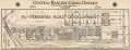
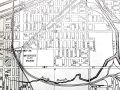
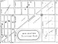
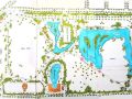
McKinley Park Historic Maps

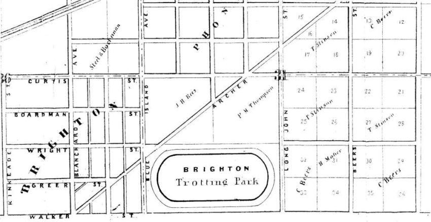


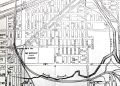
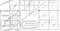
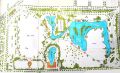
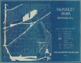

McKinley Park's Dead Bars
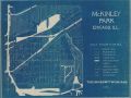
A map displays approximate locations of former McKinley Park neighborhood taverns and bars, now closed. Send additions and alerts of errata to info@mckinleypark.news.
More Mapping Resources
- MapChicago
The City of Chicago's interactive map and GIS portal - Cook County Viewer
Cook County's mapping application; includes property PIN# lookup - Chicago Police Department's ClearMap
Search, view and sort crime incidents - McKinley Park Homes for Sale
From Redfin.com
McKinley Park is a neighborhood and official community area located at the geographic center of Chicago, Illinois, about 4-1/2 miles southwest of Chicago's Loop. Its borders are Interstate 55 on the north, the South Branch of the Chicago River (aka "Bubbly Creek") on the east, Pershing Road on the south and the CSX railroad tracks and viaduct on the west.
Major thoroughfares include South Ashland Avenue, West 35th Street, South Archer Avenue, South Damen Avenue, West Pershing Road and South Western Avenue and Boulevard, as well as Interstate 55 and two Orange Line El stops at 35th/Archer and at Ashland. The neighborhood's namesake 69-acre park abuts Chicago's boulevard system at Western and comprises the largest green space in the area.
Neighborhood Info
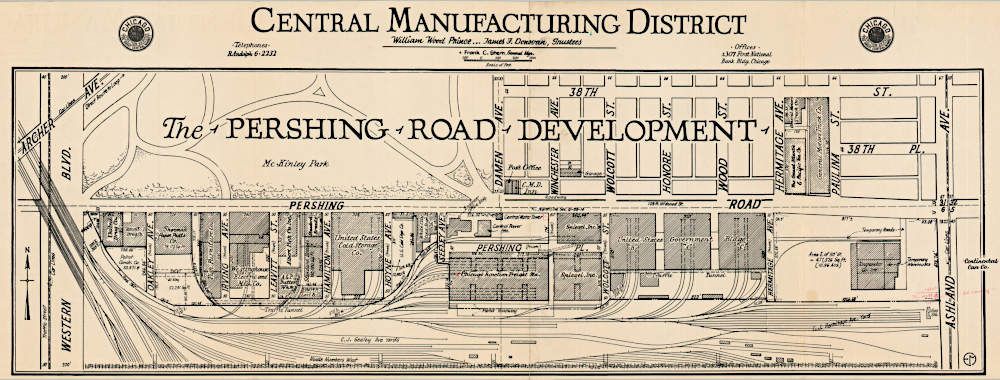
In addition to its official Community Area, the effective region of the McKinley Park neighborhood stretches to man-made boundaries on the north and south, including, respectively, the Chicago Sanitary and Ship Canal and the Norfolk Southern Ashland Yard. These areas include planned manufacturing districts that the City of Chicago has designated for commercial and industrial use, including the historic, first-of-its-kind Central Manufacturing District along West Pershing Road and between South Ashland Avenue and Bubbly Creek.
Neighborhood History
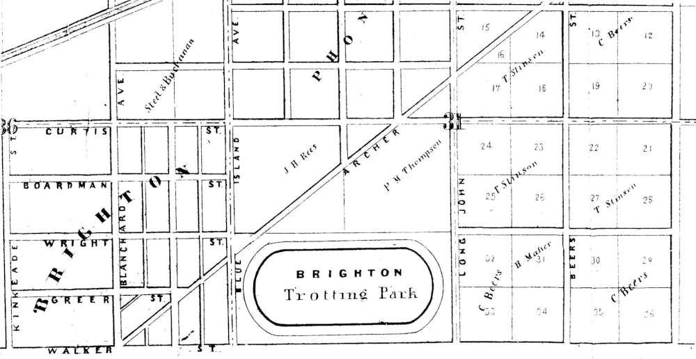
First settled around 1836 by Irish immigrants working on the Illinois & Michigan Canal, the neighborhood gained industrial businesses over the next couple decades, supported by the canal and nearby rail lines. The City of Chicago annexed the neighborhood in 1863, and the Great Chicago Fire of 1871 pushed many burned-out companies to rebuild there, providing jobs for the working-class families populating the growing area. Originally the Brighton Park Race Track and then cabbage patches, the land comprising the initial park was dedicated in 1901 following the assassination of President William McKinley. It was to be a different, experimental type of park, as stated on the Chicago Park District's website:
At the time, Chicago's existing parks were far away from the filthy, noisy, overcrowded tenement neighborhoods in the center of the city. Superintendent J. Frank Foster envisioned a new type of park that would provide social services as well as breathing spaces in these areas. ... The effort was so successful that the following year the South Park Commission began creating a whole system of new neighborhood parks for the south side.
Over 10,000 attended the park's dedication on June 13, 1902, and it received such intensive use that in 1906, the parks commission acquired adjacent property, doubling McKinley Park's acreage. Its current facilities include a field house, swimming pool, gymnasiums, meeting rooms, ball fields, ice rink, tennis courts, biking and walking trails, and a lagoon. It is supported by Chicago Parks District staff and the McKinley Park Advisory Council.
McKinley Park Neighborhood Plan
In February 2021, the Chicago Metropolitan Agency for Planning (CMAP) released the McKinley Park Neighborhood Plan, a project won by the McKinley Park Development Council in 2017.
McKinley Park's neighborhood plan was based on years of outreach and engagement, and resulted in recommendations to achieve six identified community goals: preserve neighborhood diversity, promote equitable transit-oriented development, revitalize commercial corridors, modernize the Central Manufacturing District, enhance and expand parks and recreational opportunities, and create a resilient community.
 Demographics, Businesses and Institutions
Latino residents comprise 55 percent of the current population of the McKinley Park neighborhood, joined by close to 30 percent Asian and 15 percent white residents. The neighborhood includes a mix of commercial and residential areas, with housing stock consisting mostly of single family homes and two-flats.
McKinley Park's many restaurants and shopping options are clustered along South Archer Avenue, West 35th Street and on South Ashland Avenue, and include Mariano's and Jewel grocery stores, a Target department store, an Ace Hardware, a Walgreens drugstore, and many independent and franchise outlets serving both retail and business clientele. Numerous manufacturing, production and industrial companies maintain sites east of South Ashland Avenue, along Pershing Road in the historic Central Manufacturing District, and north of Interstate 55.
Neighborhood institutions include grammar and middle schools, a branch of the Chicago Public Library, the William McKinley American Legion Post 231, and several churches. Hoyne Park is very popular; other neighborhood public green spaces include Kucinski-Murphy Park, Mulberry Playlot Park, Canal Origins Park, Canalport Riverwalk Park and Richard J. Daley Park, which includes the city's only public boat launch on the Chicago River.
The longest-lived community group is the McKinley Park Civic Association; some other groups serving the neighborhood include the McKinley Park Community Garden and the McKinley Park Development Council.
Politics and Government
The McKinley Park neighborhood is split between Chicago's 11th and 12th Wards, represented, respectively, by Alderwoman Nicole Lee and Alderwoman Julia Ramirez. It is represented within the 9th District Police Council by Carlos Sanchez, Denise McBroom and Erin Vogel.
In the Illinois State Legislature, the neighborhood's House districts include District 24, represented by Theresa Mah, and District 1, represented by Aarón Ortíz, as well as Senate District 12, represented by Celina Villanueva, and District 1, represented by Javier Loera Cervantes.
In the U.S. Congress, the McKinley Park neighborhood is represented by 4th District Representative Jesús "Chuy" Garcia and U.S. senators Richard Durbin and Tammy Duckworth.